
Landmaster Online
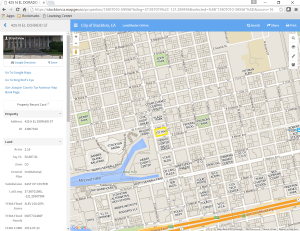 Landmaster Online is a Geographic Information Systems (GIS) property information viewer created by Applied Geographics (see External Links below.)
Landmaster Online enables City staff and citizens to search for property information by address or by the San Joaquin County Assessor's Parcel Number (i.e., APN).
This application is supported by most modern browsers (e.g., Google Chrome, Mozilla Firefox, Microsoft Internet Explorer v.11 and Microsoft Edge) and on most devices, such as tablets, smart phones, and PCs.
Users can:
- Add text, lines, and shapes to maps to print or share with others.
- Toggle through useful map layers such as zoning districts, General Plan areas, City Council districts, and more.
- Display areas and items of interest
- Overlay with high-resolution aerial images.
Built on Google Maps, Google Compute Engine, and CartoDB technology, Landmaster Online leverages many of the City's GIS map layers and databases.
Explore Examples of Interactive Maps
- City Zoning Areas
- General Plan Designation Areas
- City Council Districts
- Solid Waste Service Areas
- Utility Service Areas:
 You can use the vendor help page in External Links below.
Or review the quick-start brochure provided by the City Information Technology Department to help familiarize you with the features provided in Landmaster Online.
For more information, contact the City of Stockton Information Technology Department GIS Section.
External Links
Applied Geographics MapGeo - Help Page
This City of Stockton web page last reviewed on --- 6/5/2019